

NCDA&CS Update on Hurricane Dorian (9/4/19)
go.ncsu.edu/readext?621915
en Español / em Português
El inglés es el idioma de control de esta página. En la medida en que haya algún conflicto entre la traducción al inglés y la traducción, el inglés prevalece.
Al hacer clic en el enlace de traducción se activa un servicio de traducción gratuito para convertir la página al español. Al igual que con cualquier traducción por Internet, la conversión no es sensible al contexto y puede que no traduzca el texto en su significado original. NC State Extension no garantiza la exactitud del texto traducido. Por favor, tenga en cuenta que algunas aplicaciones y/o servicios pueden no funcionar como se espera cuando se traducen.
Português
Inglês é o idioma de controle desta página. Na medida que haja algum conflito entre o texto original em Inglês e a tradução, o Inglês prevalece.
Ao clicar no link de tradução, um serviço gratuito de tradução será ativado para converter a página para o Português. Como em qualquer tradução pela internet, a conversão não é sensivel ao contexto e pode não ocorrer a tradução para o significado orginal. O serviço de Extensão da Carolina do Norte (NC State Extension) não garante a exatidão do texto traduzido. Por favor, observe que algumas funções ou serviços podem não funcionar como esperado após a tradução.
English
English is the controlling language of this page. To the extent there is any conflict between the English text and the translation, English controls.
Clicking on the translation link activates a free translation service to convert the page to Spanish. As with any Internet translation, the conversion is not context-sensitive and may not translate the text to its original meaning. NC State Extension does not guarantee the accuracy of the translated text. Please note that some applications and/or services may not function as expected when translated.
Collapse ▲This newsletter contains important information from the North Carolina Department of Agriculture and Consumer Services Veterinary Division’s Livestock Unit in regards to Hurricane Dorian. Please share this information with other producers.
To subscribe to this newsletter, please send an email to the Veterinary Division’s general email account, Joe.Web@ncagr.gov. View the department’s Disaster Planning website.
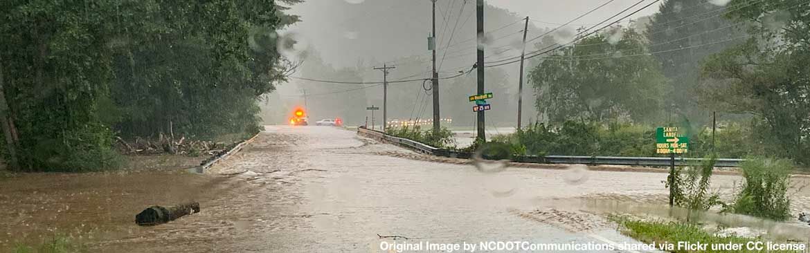
Hurricane Dorian Forecast Update
Conditions will worsen later tonight into early Thursday as Dorian moves northward along the coast. Rain and wind will begin across southeast NC overnight and continue through Friday. Impacts will occur well away from Dorian’s center. Remember the category of the storm is only related to the wind and says nothing about impacts of heavy rain, storm surge, tornadoes, etc. All hurricane preparations should be completed by this evening.
Heavy Rain
- Eastern NC: 6-10” with locally higher amounts up to 15”
- Central NC: 4-8” of rain south and east of the Triangle with lesser amounts west (<2”)
- Heaviest rainfall is expected along and east of I-95 Thursday through Friday
- A Flash Flood Watch is in effect for areas east of US-1 through Friday
- Flooding/flash flooding impacts include the potential for road closures, rapid rises in small streams and creeks, and flooding in low-lying and prone areas
- Flood waters could enter structures within multiple communities
Damaging Winds
- Eastern NC (east of I-95): Sustained tropical storm force winds 55-80 mph along the coast, 30-55 mph farther inland); Gusts 65-95 mph along the coast, 40-65 mph farther inland
- Slightly higher winds are possible near Cape Fear (sustained winds up to 90 mph, gusts up to 115 mph)
- Central NC (mainly east of US-1): Tropical storm force gusts (40-60 mph) possible
- Tropical storm force winds are expected to begin early Thursday and increase through Friday morning
- Hurricane force winds remain possible along the immediate coast Thursday night into Friday, though gusts could occur across eastern NC
- Impacts in areas with the highest winds include downed trees, widespread power outages, and damage to weak structures
- Although winds will be lower north and west of I-95, isolated trees and power lines could still come down
Life-Threatening Storm Surge
- South of Cape Lookout: 4-7’ above ground
- Cape Lookout to Duck (including Pamlico and Albemarle Sounds and the Neuse and Pamlico Rivers): 4-6’ above ground
- North of Duck: 2-4’ above ground
- Initial impacts will be along the ocean before threat transitions to sound side areas as Dorian moves through
- Greatest surge threat will be Thursday and Friday
- Surge could cause large sections of near-shore escape routes and secondary roads to be washed out or severely flooded
- Additional impacts could include damage to vulnerable structures, major beach erosion, and damage to docks and piers
Tornadoes
- Isolated tornadoes are possible across eastern NC Wednesday night through Thursday night
Marine & Coastal
- Rip currents and dangerous surf will occur through Friday
- Severe beach erosion, significant dune loss, and ocean overwash is expected
- Ocean overwash will make roads impassable especially at periods of high tide
Rainfall Amounts and Wind Forecasts (September 4, 2019)
Tropical Weather Update (September 4, 2019)
Hurricanes Spawn Storms of Misinformation
Statement by the N.C. Pork Council
An Associated Press article published in advance of the arrival of Hurricane Dorian begins like this: “The names of hurricanes may change, but one thing seems to stay the same: Misinformation spreads quickly…”
We cannot agree more. The pork industry in North Carolina has been a victim of misinformation before, during and after recent hurricanes.
Some of it is the result of a deliberate campaign by certain activist groups who are running coordinated campaigns meant to attack hog farmers – campaigns that themselves are dishonest. Other times, it is the result of media outlets that are quick to believe the worst about our farms and can’t (or don’t) verify what they are told.
Time and time again
Before storms like Dorian, activists who oppose livestock agriculture often warn of environmental threats from hog farms — even though post-storm assessments later prove those fears completely unfounded.
Then, once the storm passes, the activists hop into small planes in search of anything that looks like a hog farm under water. They snap photos and share images with media outlets that are anxious to chronicle the storm’s damage, but not so anxious to check facts.
The result: the media, time and time again, has published photos in the immediate aftermath of a hurricane that wrongly identified flooded properties as hog farms.
The AP ran a photo of a flooded hay farm and called it a hog farm. The Washington Post published a photo of a flooded municipal wastewater treatment plant and called it a hog farm. Major national networks published photos of poultry farms that were misidentified as hog farms.
The media also publishes misleading information about how many animals died as a result of the storm. In a state that has about nine million pigs in standing stock, Hurricane Florence’s historic rains resulted in the loss of about 5,500 pigs. Nonetheless, some headlines screamed that “millions” died as a result of the storms.
By the time we correct these errors, the damage is done.